A5119.04
| Standort | West Coast Liverpool Bay River Dee |
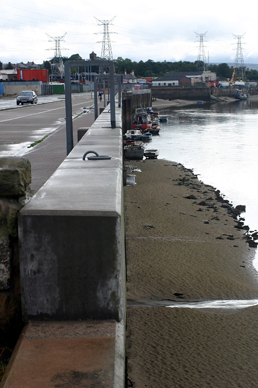
| Name | Connah's Quay Flood Defence Wall Upstream end |
| Position |
N53°13.27' W3°3.16' |
| Status | Aktiv |
| Bildnachweis | OLL |
 KML-Datei für Google Earth herunterladen
 In Google Maps anzeigen
 In Bing Maps anzeigen
 In OpenSeaMap anzeigen