J2705.2
| Standort | Charleston Harbor and Approaches Cooper River |
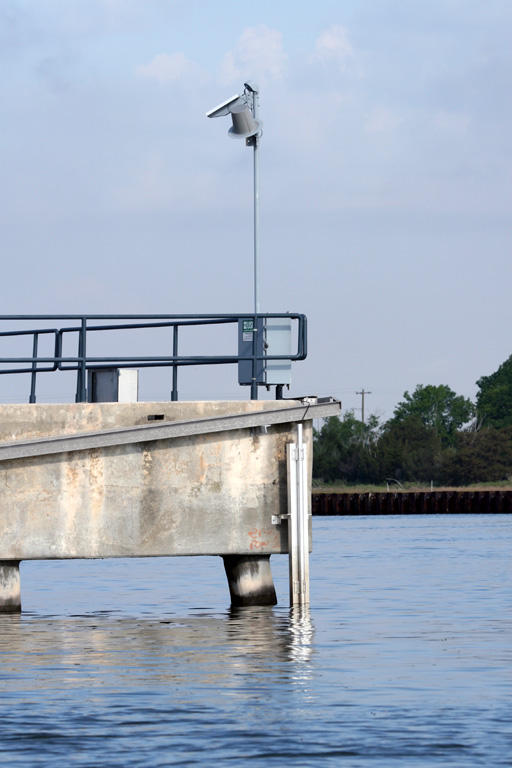
| Name | North Degaussing Range W platform |
| Position |
N32°50.078' W79°55.962' |
| Status | Aktiv |
| Bildnachweis | OLL |
 KML-Datei für Google Earth herunterladen
 In Google Maps anzeigen
 In Bing Maps anzeigen
 In OpenSeaMap anzeigen