J2712.55
| Standort | Charleston Harbor and Approaches Cooper River |
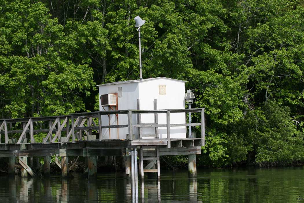
| Name | Mooring Station Obstruction D |
| Position |
N32°59.431' W79°55.556' |
| Status | Aktiv |
| Bildnachweis | OLL |
 KML-Datei für Google Earth herunterladen
 In Google Maps anzeigen
 In Bing Maps anzeigen
 In OpenSeaMap anzeigen