J2863.2
| Standort | Saint Johns River |
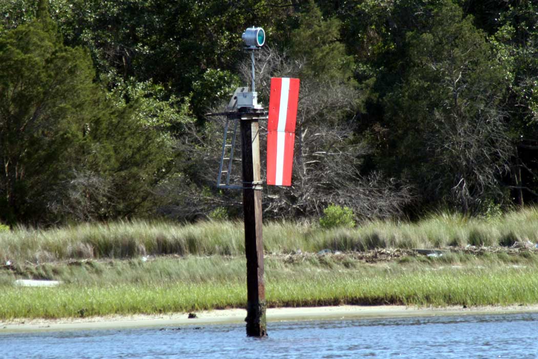
| Name | Quarantine Island Upper Ldg Lts Front |
| Position |
N30°22.98' W81°33.67' |
| Status | Aktiv |
| Bildnachweis | OLL |
 KML-Datei für Google Earth herunterladen
 In Google Maps anzeigen
 In Bing Maps anzeigen
 In OpenSeaMap anzeigen