J5989.4
| Standort | Gulf of Honduras Bahía de Amatique Bahía de Santo Tomás de Castilla |
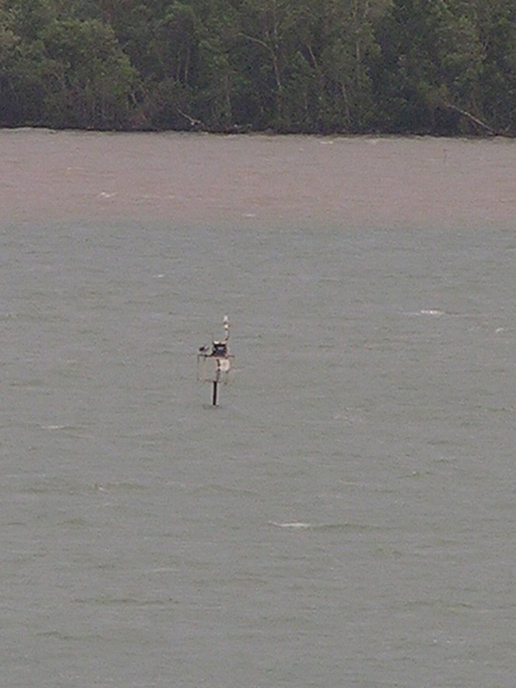
| Name | Puerto Santo Tomás de Castilla Wreck |
| Position |
N15°42.272' W88°36.759' |
| Status | Aktiv |
| Bildnachweis | CPT |
 KML-Datei für Google Earth herunterladen
 In Google Maps anzeigen
 In Bing Maps anzeigen
 In OpenSeaMap anzeigen