B1862.1
| Standort | Ringkøbing Fjord |
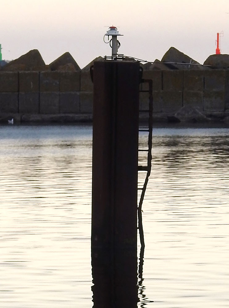
| Name | Hvide Sande Kanal Industrihavn Shelter Mole |
| Position |
N56°0.165' E8°7.367' |
| Status | Aktiv |
| Bildnachweis | EHW |
 KML-Datei für Google Earth herunterladen
 In Google Maps anzeigen
 In Bing Maps anzeigen
 In OpenSeaMap anzeigen