
Um detaillierte Informationen zu einem Leuchtfeuer anzuzeigen, auf den internationalen Code klicken.
Alle Bilder auf einer Seite anzeigen
| Vorschau | Internationaler Code | Standort | Name | Bildnachweis |
|---|---|---|---|---|
 | J3297.7 | Suwannee Sound | Suwannee River Alligator Pass No 2 | |
| J3298 | Horseshoe Beach Approach | No 2 | |
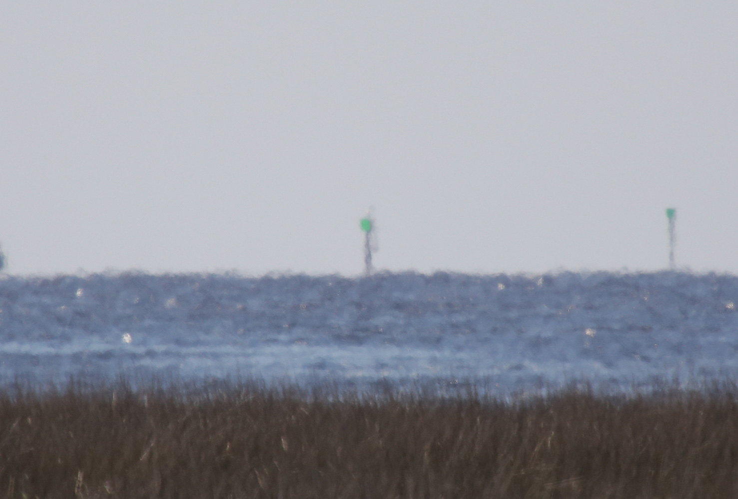 | J3299 | Steinhatchee River | No 1 | OLL |
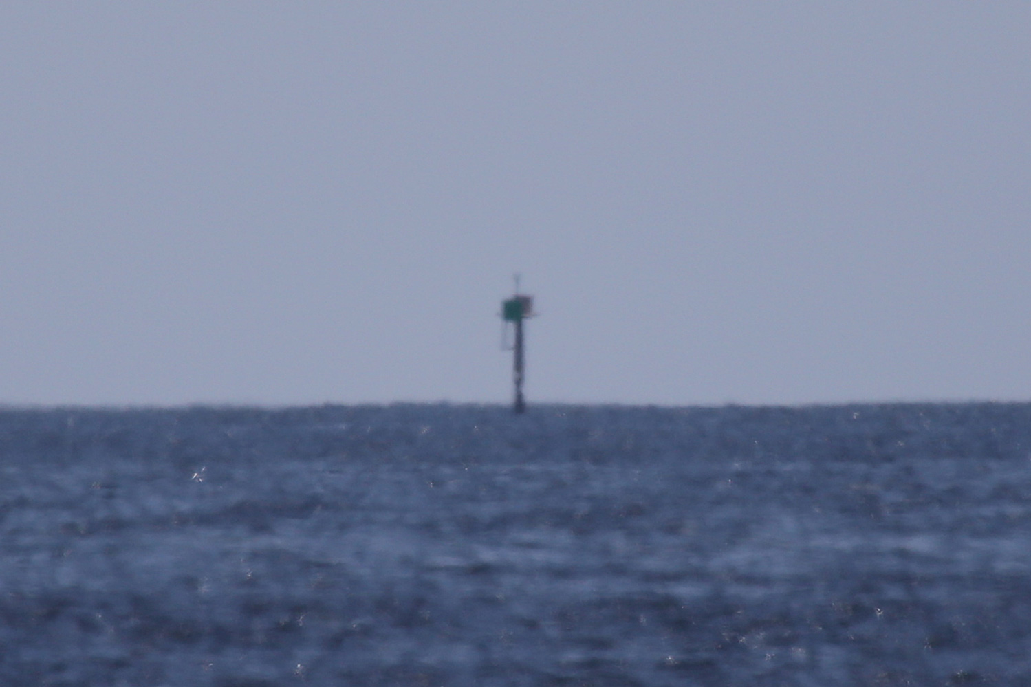 | J3299.2 | Keaton Beach | No 1 | OLL |
| J3299.4 | Apalachee Bay | Econfina River | |
| J3299.6 | Apalachee Bay | Gamble Point | |
| J3300.1 | Apalachee Bay | Saint Marks Lighthouse | |
 | J3305 | Apalachee Bay | Shell Point | OLL |
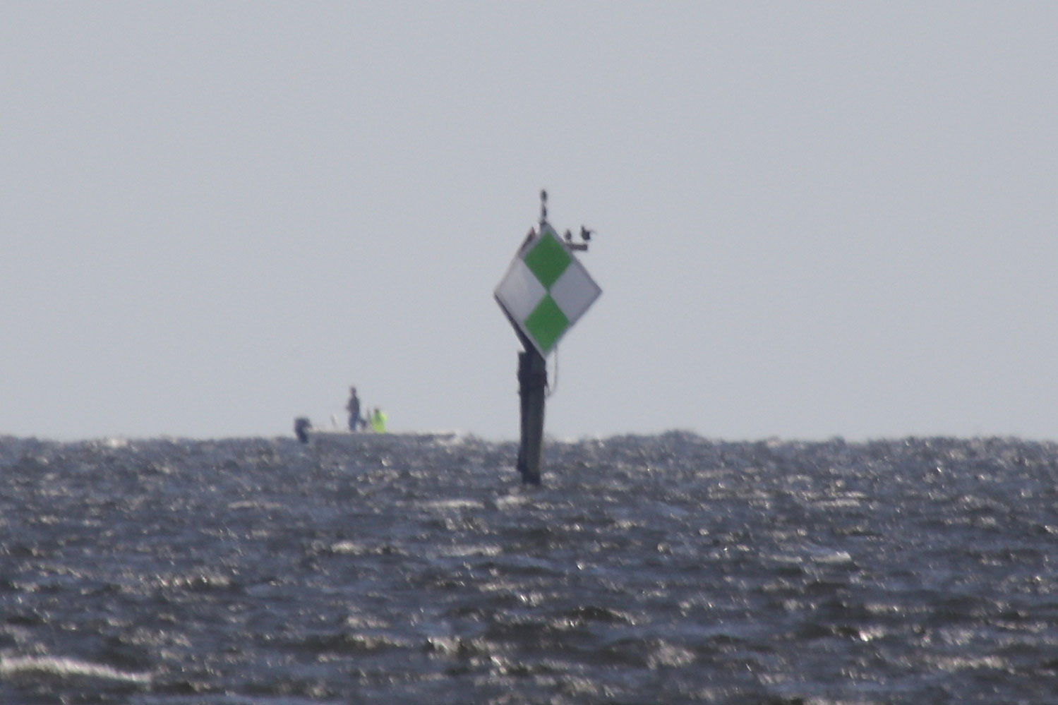
| J3305.5 | Apalachee Bay | Panacea Channel No 3 | |
| J3306 | USAF Instrumentation Tower | N7 | |
| J3306.2 | USAF Instrumentation Tower | N3 | |
| J3306.3 | USAF Instrumentation Tower | N5 | |
| J3306.32 | USAF Instrumentation Tower | N4 | |
| J3306.34 | USAF Instrumentation Tower | N6 | |
| J3306.37 | USAF Instrumentation Tower | SM 1 | |
 | J3306.4 | Apalachee Bay | Ochlockonee Bay Approach OB | OLL |
| J3306.5 | Apalachee Bay | Ochlockonee Bay Approach No 2 | |
 | J3307 | Apalachee Bay | Ochlockonee Bay Approach LH | OLL |
 | J3316.5 | Saint George Sound | Dog Island No 5 | OLL |
 | J3317 | Saint George Sound | Dog Island No 3 | OLL |
 KML-Datei (alle Einträge) für Google Earth herunterladenKML-Datei (nur mit Bildern) für Google Earth herunterladenKML-Datei (nur ohne Bilder) für Google Earth herunterladen
 In Google Maps anzeigen (alle Einträge)In Google Maps anzeigen (nur mit Bildern)In Google Maps anzeigen (nur ohne Bilder)
 In Bing Maps anzeigen (alle Einträge)In Bing Maps anzeigen (nur mit Bildern)In Bing Maps anzeigen (nur ohne Bilder)

