
Um detaillierte Informationen zu einem Leuchtfeuer anzuzeigen, auf den internationalen Code klicken.
Alle Bilder auf einer Seite anzeigen
| Vorschau | Internationaler Code | Standort | Name | Bildnachweis |
|---|---|---|---|---|
 | H3666.5 | Saint Margaret's Bay | Mill Cove Wharf | |
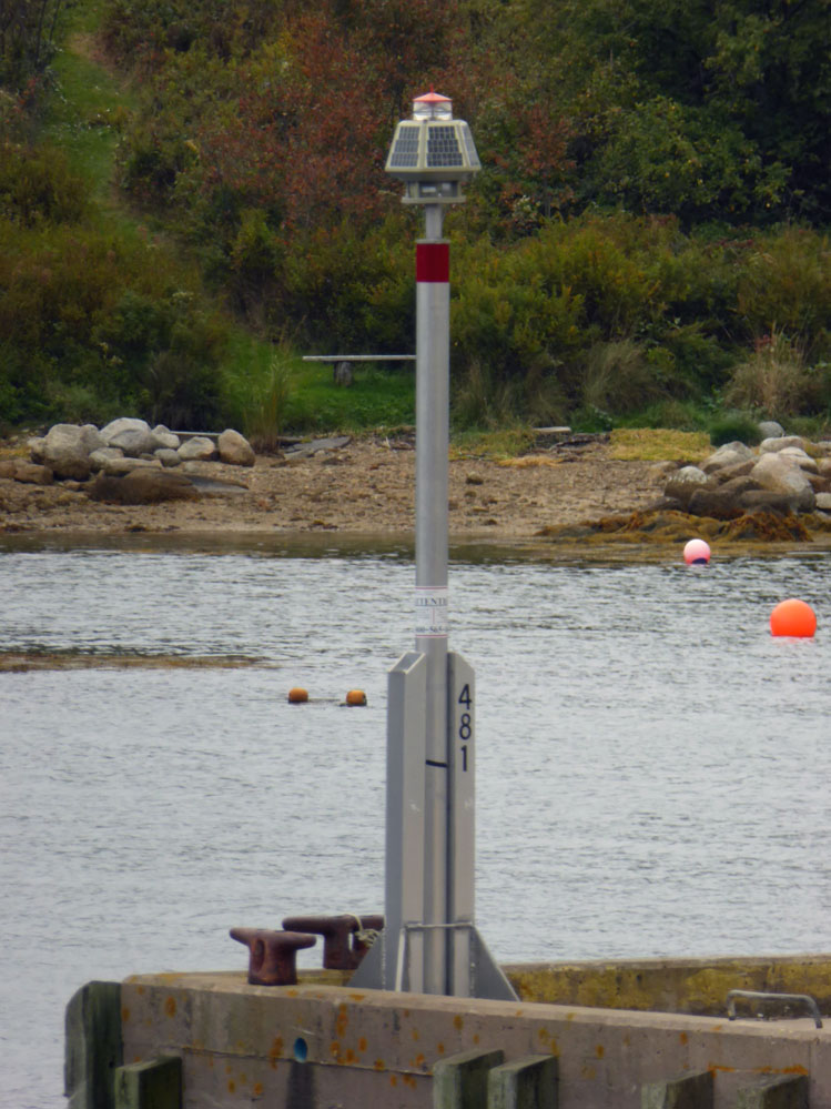 | H3667 | Saint Margaret's Bay | Northwest Cove Government Wharf Head | KWS |
| H3670 | Pearl Island | Pearl Island S Point | |
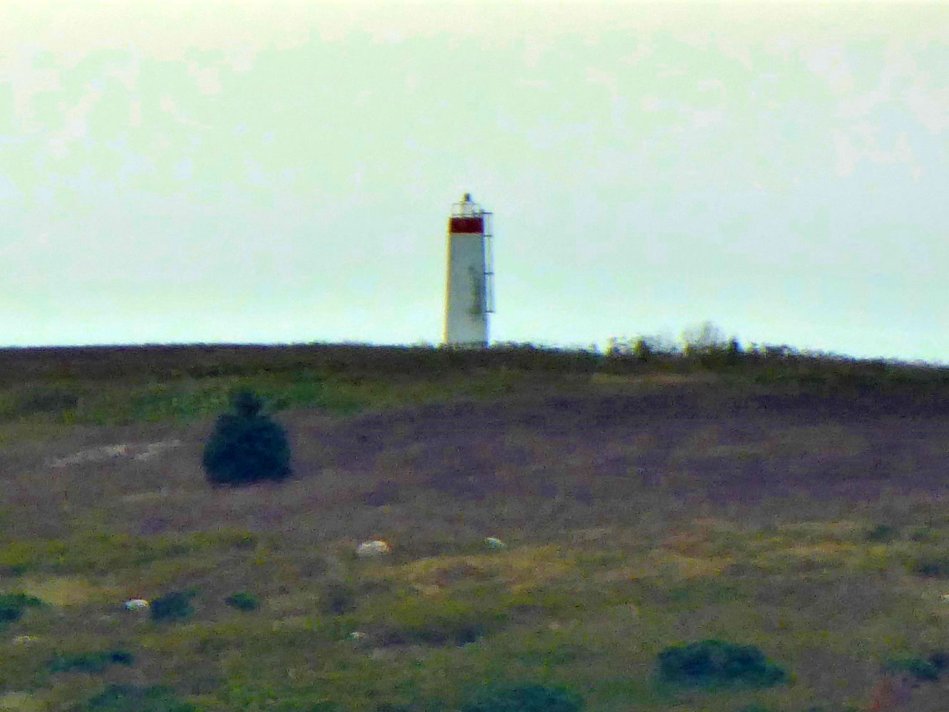
| H3672 | East Ironbound Island | Near centre | |
| H3674 | Mahone Bay | New Harbour Breakwater Head | |
| H3676 | Mahone Bay | Big Tancook Island Northwest Cove Wharf Head | |
| H3677 | Mahone Bay | Little Tancook Island Wharf Head | |
 | H3680 | Mahone Bay | Quaker Island Summit | KWS |
| H3682 | Mahone Bay | Kaulbach Island N End Ldg Lts Front | |
| H3682.1 | Mahone Bay | Kaulbach Island NE End Ldg Lts Rear | |
| H3683 | Mahone Bay | Beacon Shoal Western Shore Breakwater Head | |
| H3683.2 | Mahone Bay | Beacon Shoal Inner | |
 | H3688 | Mahone Bay | Mahone Harbour Westhaver Island | KWS |
| H3694 | Mahone Bay | Mahone Harbour Gunning Point Island (Tanner Island) E End | |
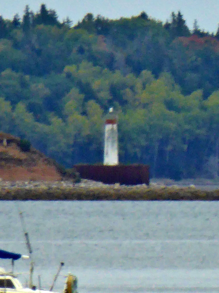
| H3698 | Lunenburg Bay Cross Island | Cross Island E Point | |
| H3699 | Lunenburg Bay | East Point Island | |
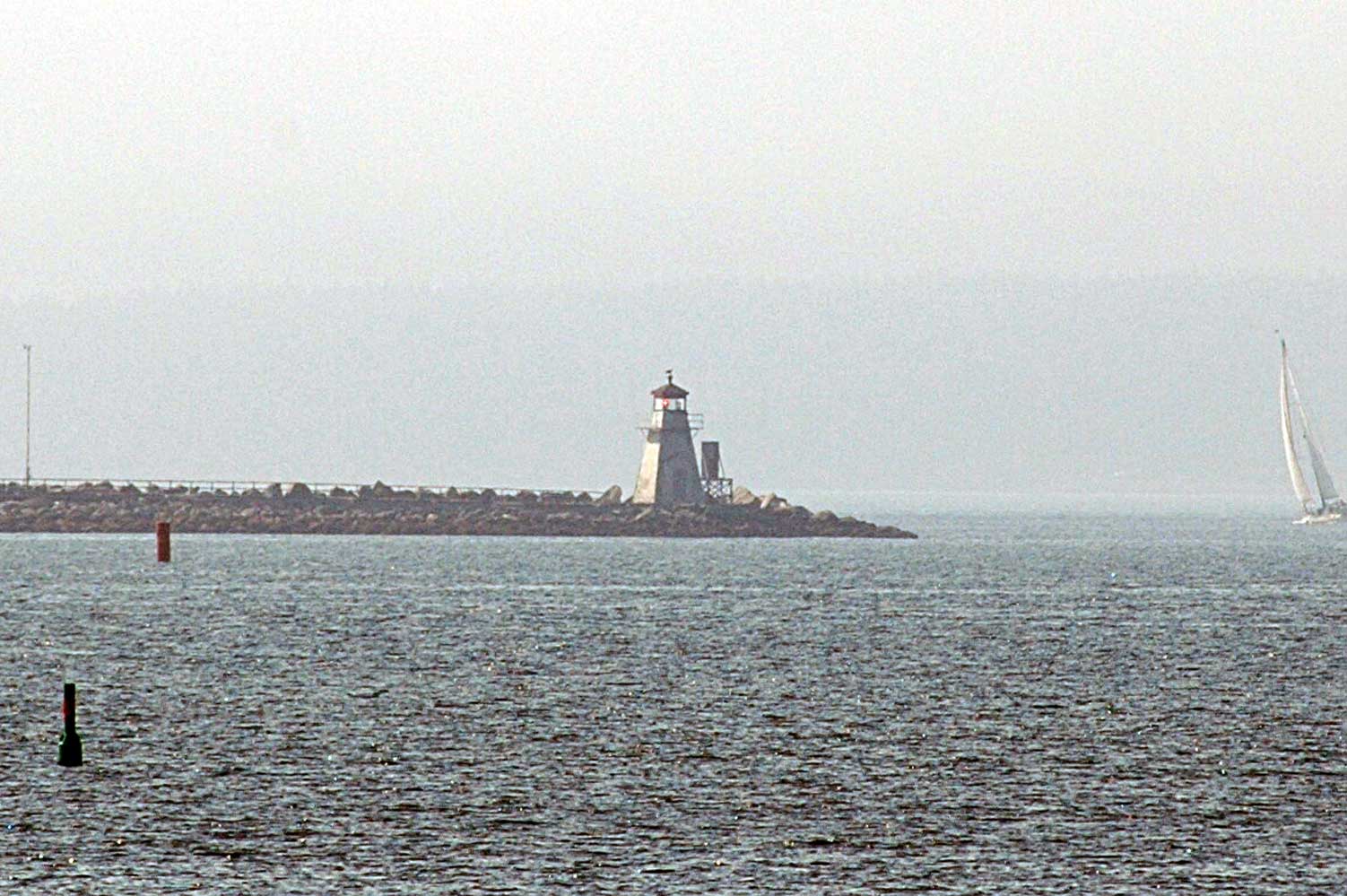
| H3700 | Lunenburg Bay | Feltzen South Breakwater Head | |
 | H3702 | Lunenburg Bay | Battery Point Breakwater Near Head | KPH |
| H3708 | La Have River | West Ironbound Island S End | |
| H3710 | La Have River | Mosher Island NE Point |
 KML-Datei (alle Einträge) für Google Earth herunterladenKML-Datei (nur mit Bildern) für Google Earth herunterladenKML-Datei (nur ohne Bilder) für Google Earth herunterladen
 In Google Maps anzeigen (alle Einträge)In Google Maps anzeigen (nur mit Bildern)In Google Maps anzeigen (nur ohne Bilder)
 In Bing Maps anzeigen (alle Einträge)In Bing Maps anzeigen (nur mit Bildern)In Bing Maps anzeigen (nur ohne Bilder)

