
Um detaillierte Informationen zu einem Leuchtfeuer anzuzeigen, auf den internationalen Code klicken.
Alle Bilder auf einer Seite anzeigen
| Vorschau | Internationaler Code | Standort | Name | Bildnachweis |
|---|---|---|---|---|
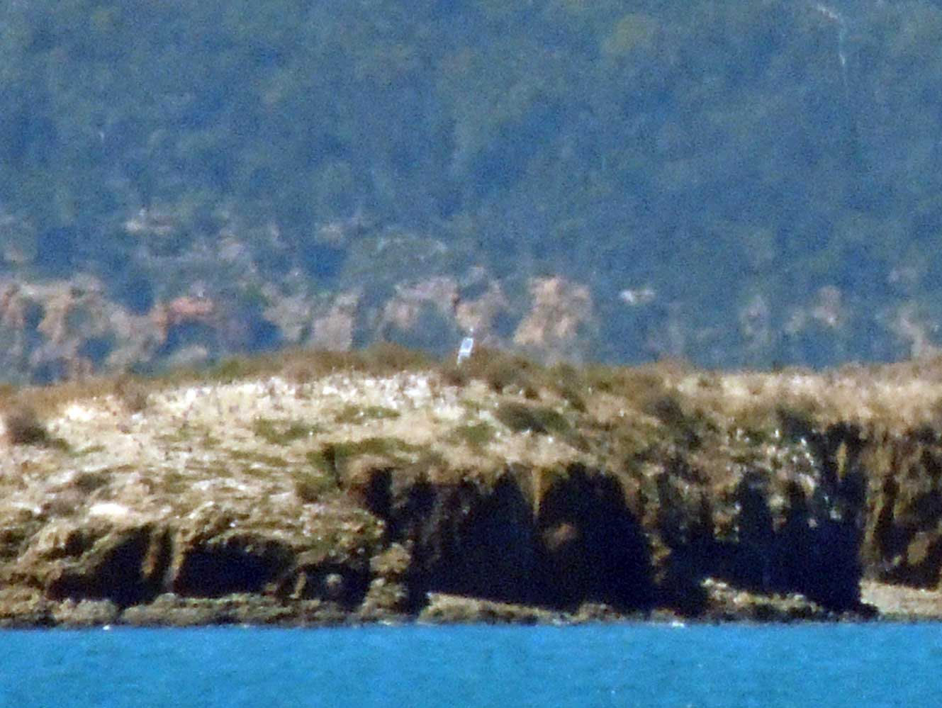 | K3621 | Frederick Henry Bay | Isle of Caves Summit | RAY |
 | K3621.1 | Frederick Henry Bay | Primrose Sands | |
| K3621.2 | Norfolk Bay | Smooth Island | |
| K3621.5 | Norfolk Bay Tasman Peninsula | Dart Island | |
| K3621.8 | Norfolk Bay Tasman Peninsula | Little Norfolk Bay Taranna | |
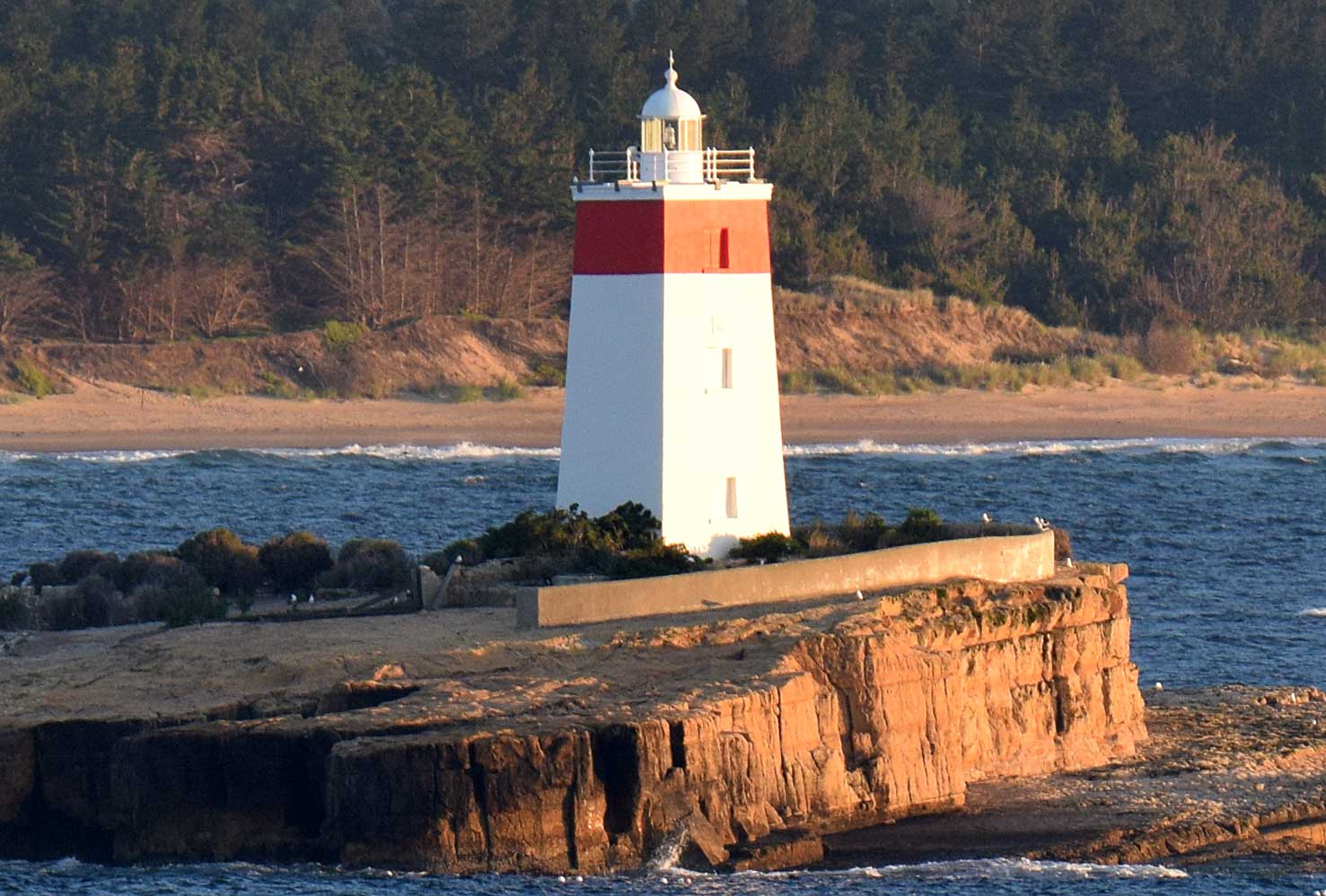 | K3622 | Storm Bay Iron Pot Island | Iron Pot Island | JPS |
 | K3623 | River Derwent | Piersons Point | JPS |
| K3623.2 | River Derwent | Halfmoon Bay | |
| K3623.5 | River Derwent | Opossum Bay | |
| K3624 | River Derwent | Opossum Bay White Rock Point | |
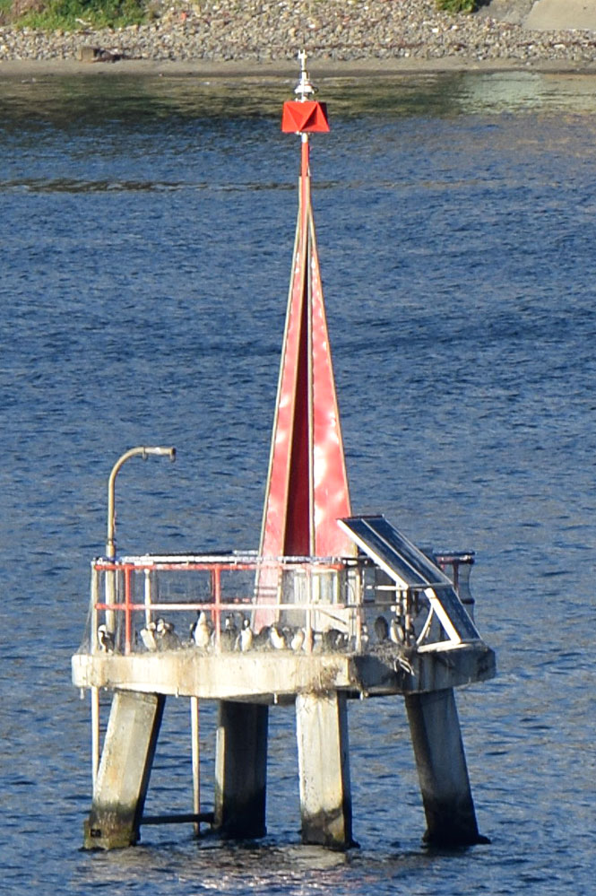 | K3627 | River Derwent Hobart | John Garrow Shoal | JPS |
 | K3627.6 | River Derwent Hobart | Nutgrove Beach Ldg Lts Front | RAY |
| K3627.7 | River Derwent Hobart | Wrest Point Derwent Sailing Squadron Marina | |
| K3627.71 | River Derwent Hobart | Wrest Point Derwent Sailing Squadron Marina | |
| K3627.72 | River Derwent Hobart | Wrest Point Derwent Sailing Squadron Marina | |
| K3627.8 | River Derwent Hobart | Royal Yacht Club of Tasmania Ldg Lts Front | |
| K3627.81 | River Derwent Hobart | Royal Yacht Club of Tasmania Ldg Lts Rear | |
| K3627.82 | River Derwent Hobart | Royal Yacht Club of Tasmania Marina Complex N head | |
| K3627.825 | River Derwent Hobart | Royal Yacht Club of Tasmania Marina Complex mid | |
| K3627.83 | River Derwent Hobart | Royal Yacht Club of Tasmania Marina Complex S head |
 KML-Datei (alle Einträge) für Google Earth herunterladenKML-Datei (nur mit Bildern) für Google Earth herunterladenKML-Datei (nur ohne Bilder) für Google Earth herunterladen
 In Google Maps anzeigen (alle Einträge)In Google Maps anzeigen (nur mit Bildern)In Google Maps anzeigen (nur ohne Bilder)
 In Bing Maps anzeigen (alle Einträge)In Bing Maps anzeigen (nur mit Bildern)In Bing Maps anzeigen (nur ohne Bilder)

