
Um detaillierte Informationen zu einem Leuchtfeuer anzuzeigen, auf den internationalen Code klicken.
Alle Bilder auf einer Seite anzeigen
| Vorschau | Internationaler Code | Standort | Name | Bildnachweis |
|---|---|---|---|---|
 | Q3314 | Dundas Strait | Cape Don | |
| Q3315 | Van Diemen Gulf Clarence Strait | Cape Hotham | |
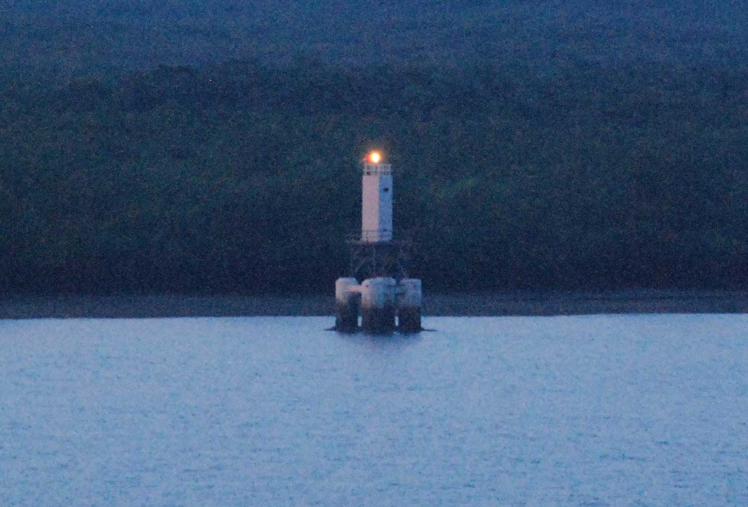 | Q3316 | Clarence Strait Howard Channel East Vernon Island | East Vernon Island S Side | JPS |
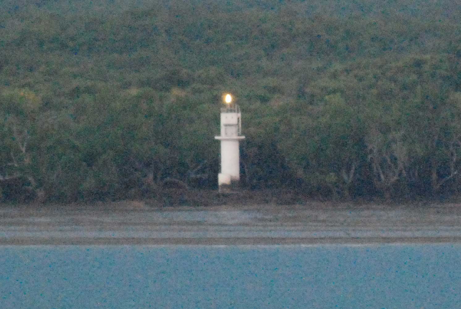 | Q3317 | Clarence Strait Howard Channel Southwest Vernon Island | Southwest Vernon Island N Point | JPS |
| Q3317.5 | Clarence Strait Howard Channel Northwest Vernon Island | Northwest Vernon Island | |
| Q3318 | Beagle Gulf Bathurst Island | Cape Fourcroy | |
| Q3320 | Beagle Gulf Shoal Bay | Lee Point Eastward | |
| Q3320.1 | Beagle Gulf Shoal Bay | Lee Point Eastward | |
| Q3320.2 | Beagle Gulf Shoal Bay | Lee Point Eastward | |
| Q3320.3 | Beagle Gulf Shoal Bay | Lee Point Eastward | |
| Q3320.4 | Beagle Gulf Shoal Bay | Lee Point Eastward | |
| Q3320.5 | Beagle Gulf Shoal Bay | Lee Point Eastward | |
| Q3320.6 | Beagle Gulf Shoal Bay | Lee Point Eastward | |
| Q3320.8 | Beagle Gulf Shoal Bay | Lee Point Eastward | |
| Q3321 | Beagle Gulf Port Darwin | Charles Point | |
| Q3323 | Beagle Gulf Port Darwin | Radio Tower | |
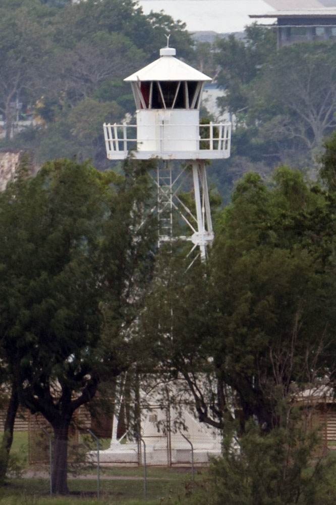 | Q3324 | Beagle Gulf Port Darwin | Emery Point | JPS |
| Q3324.5 | Beagle Gulf Port Darwin | Nightcliff | |
| Q3324.6 | Beagle Gulf Port Darwin | Nightcliff Breakwater Head | |
| Q3325.3 | Beagle Gulf Port Darwin | Fannie Bay Sandspit Dir Lt |
 KML-Datei (alle Einträge) für Google Earth herunterladenKML-Datei (nur mit Bildern) für Google Earth herunterladenKML-Datei (nur ohne Bilder) für Google Earth herunterladen
 In Google Maps anzeigen (alle Einträge)In Google Maps anzeigen (nur mit Bildern)In Google Maps anzeigen (nur ohne Bilder)
 In Bing Maps anzeigen (alle Einträge)In Bing Maps anzeigen (nur mit Bildern)In Bing Maps anzeigen (nur ohne Bilder)

