J2495.14
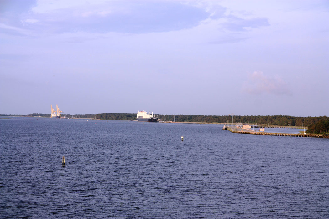
| Standort | Cape Fear River and Approaches to Wilmington |
| Name | Sunny Point Terminal Warning light O |
| Position |
N34°1.783' W77°56.486' |
| Status | Aktiv |
| Bildnachweis | CTT |
 KML-Datei für Google Earth herunterladen
 In Google Maps anzeigen
 In Bing Maps anzeigen
 In OpenSeaMap anzeigen