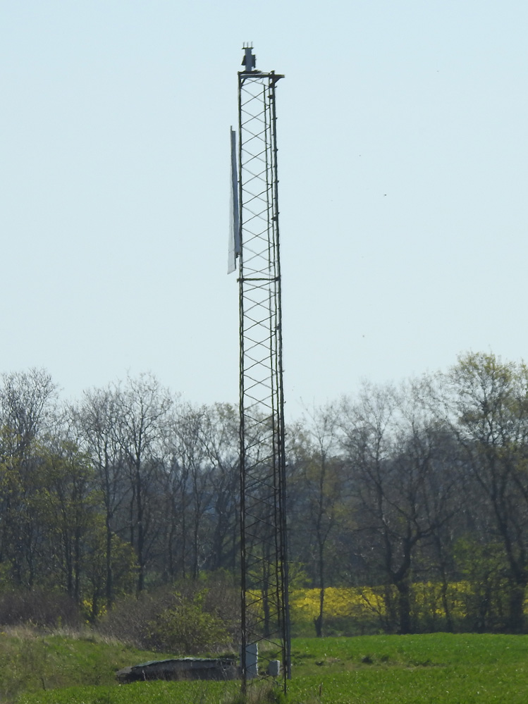
C1115
| Standort | Flensburger Förde Geltinger Bucht |
| Name | Kalkgrund Mole S of Ferry Wharf Ldg Lts Front |
| Position |
N54°45.13' E9°51.77' |
| Status | Aktiv |
| Bildnachweis | EHW |
 KML-Datei für Google Earth herunterladen
 In Google Maps anzeigen
 In Bing Maps anzeigen
 In OpenSeaMap anzeigen