
G5036
| Standort | Rosario Strait |
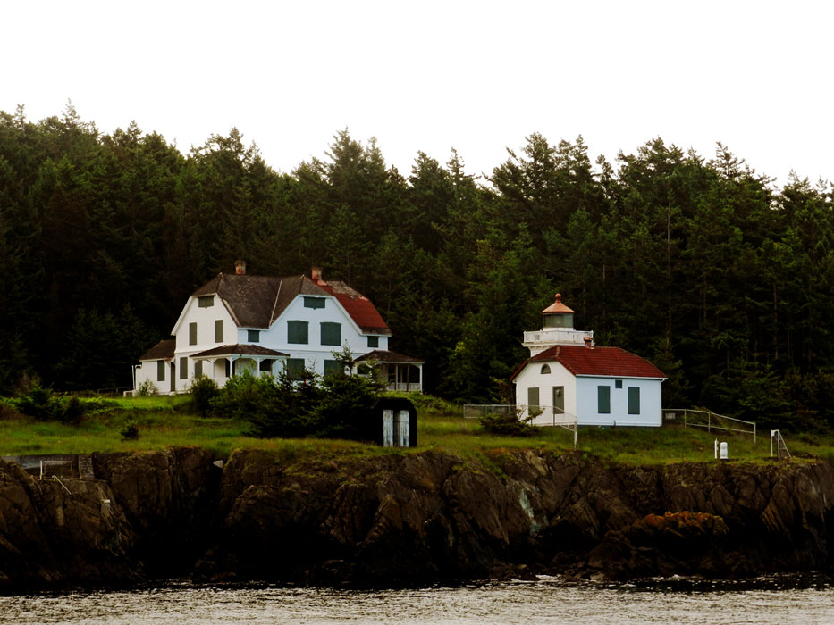
| Name | Burrows Island W End |
| Position |
N48°28.677' W122°42.812' |
| Status | Aktiv |
| Bildnachweis | MBN |
 KML-Datei für Google Earth herunterladen
 In Google Maps anzeigen
 In Bing Maps anzeigen
 In OpenSeaMap anzeigen
| Standort | Rosario Strait |
| Name | Burrows Island W End |
| Position |
N48°28.677' W122°42.812' |
| Status | Aktiv |
| Bildnachweis | MBN |
KML-Datei für Google Earth herunterladenIn Google Maps anzeigenIn Bing Maps anzeigenIn OpenSeaMap anzeigen

